Grimes Graves by munki-boy
Grimes Graves
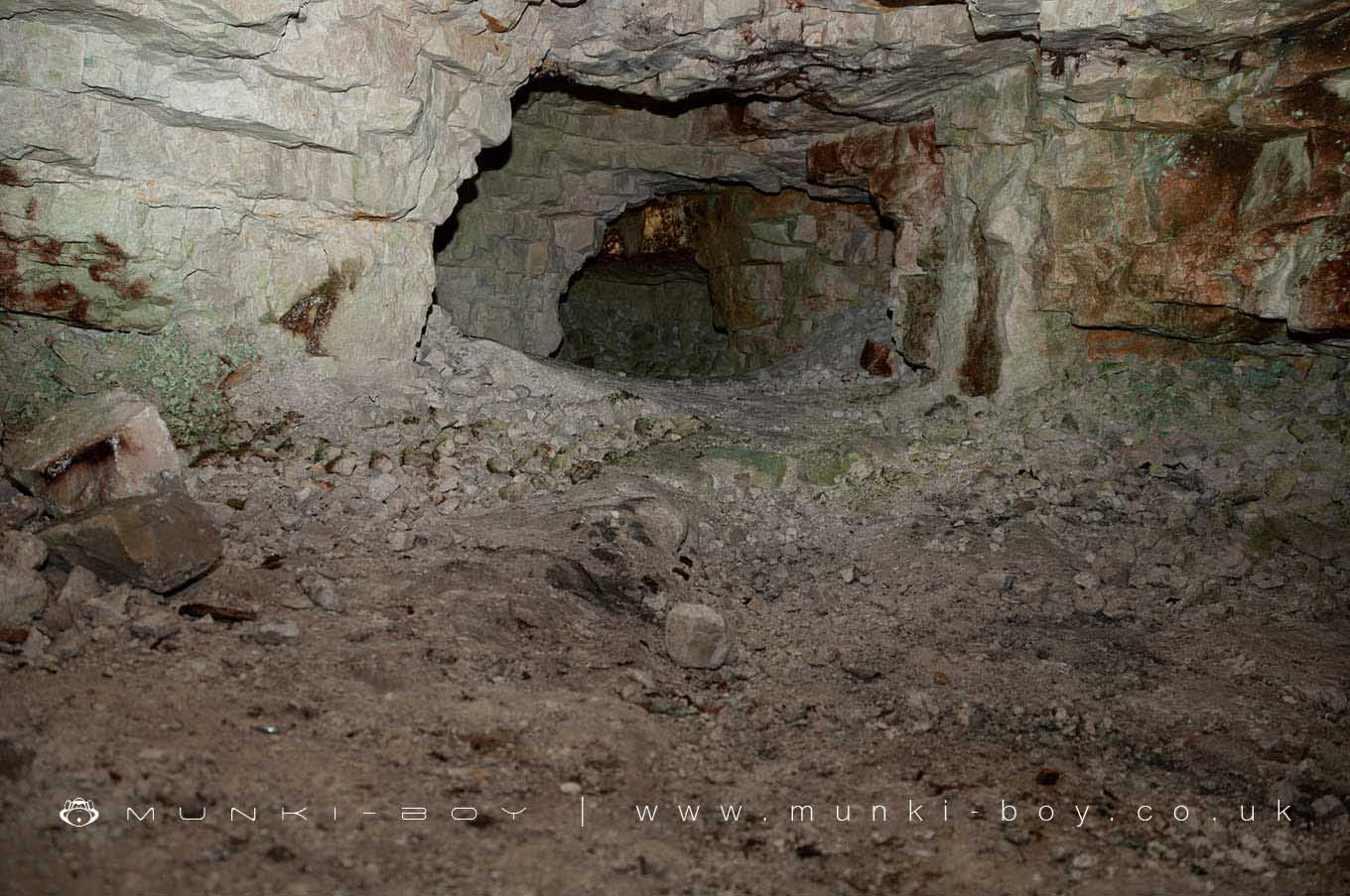
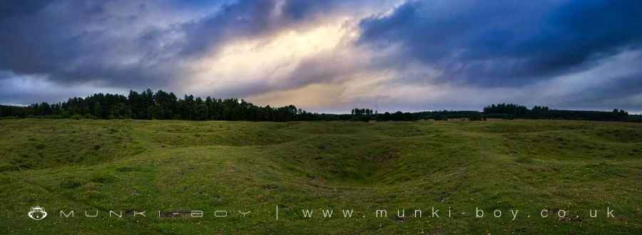
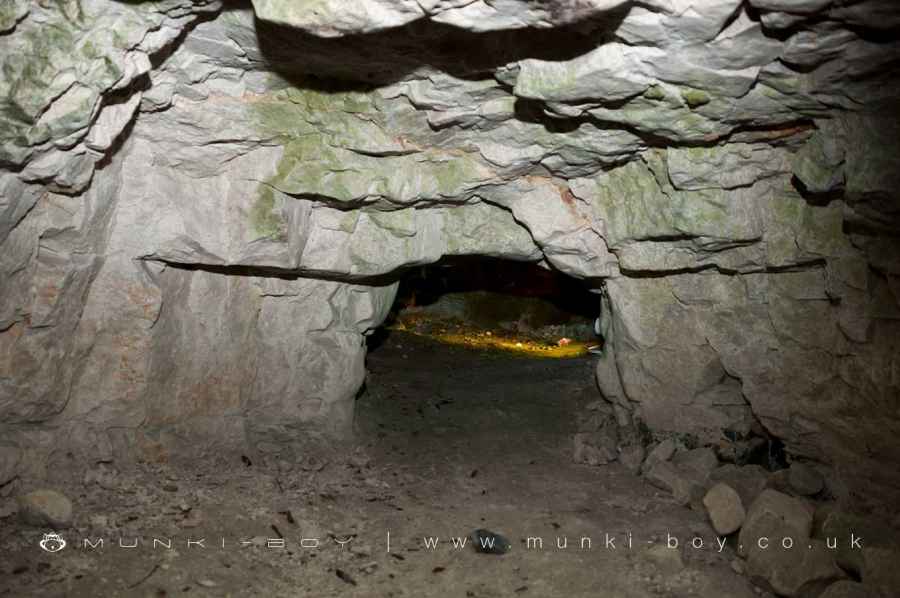
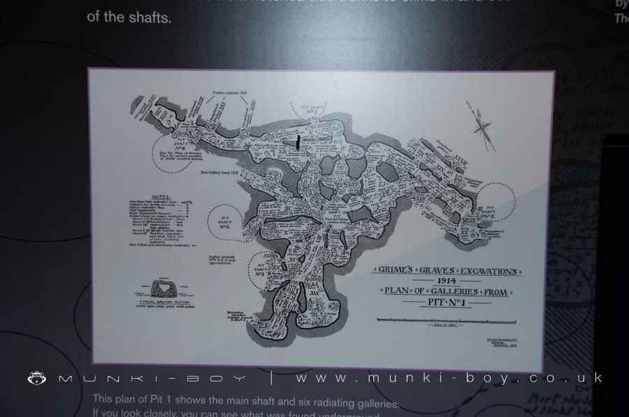
Grime’s Graves is the only Neolithic flint mine open to visitors in Britain. This grassy lunar landscape of 400 pits was first named Grim’s Graves by the Anglo-Saxons. It was not until one of them was excavated in 1870 that they were identified as flint mines dug over 5,000 years ago.
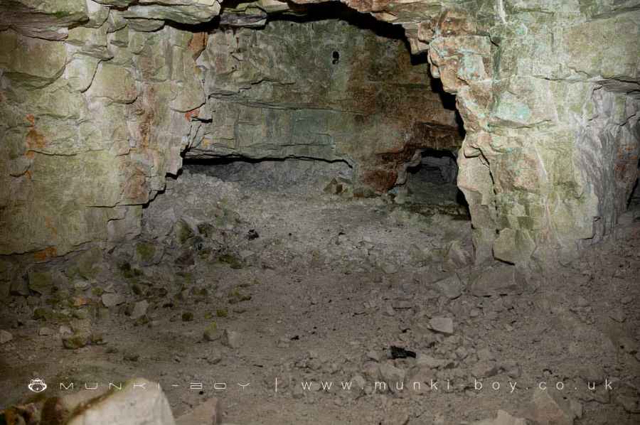
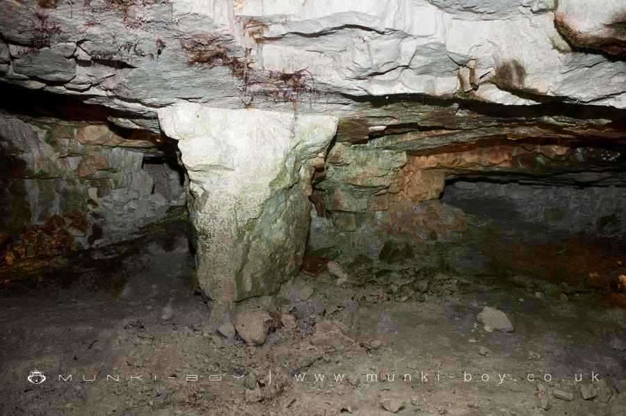
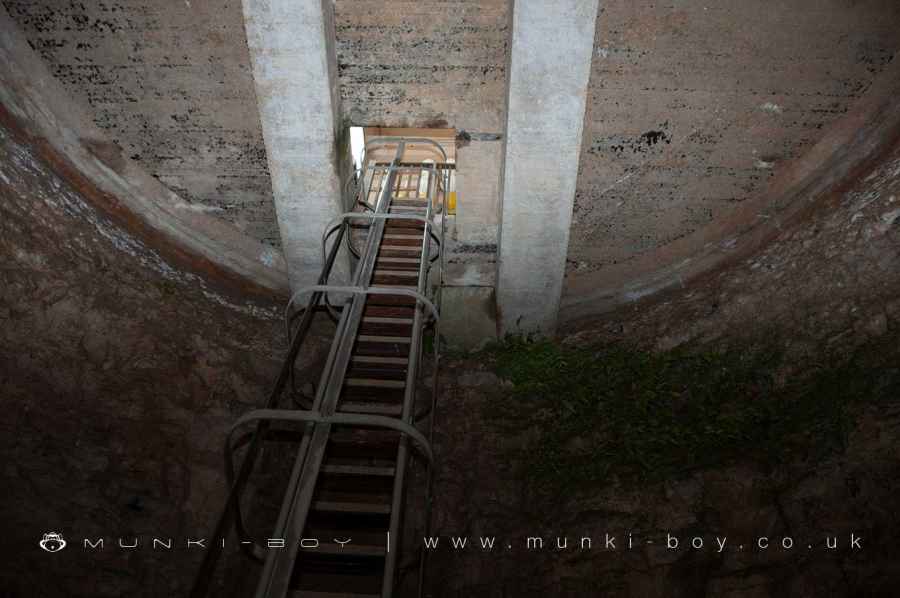
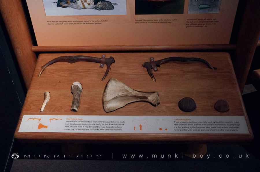
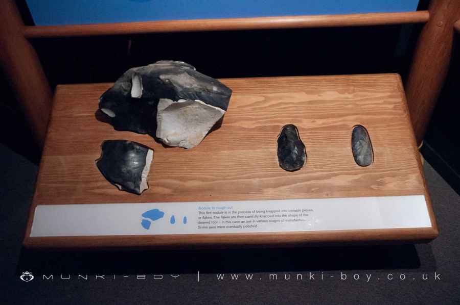
A small exhibition area illustrates the history of this fascinating site. Visitors can descend 9 metres (30 ft) by ladder into one excavated shaft to see the jet-black flint.
Set amid the distinctive Breckland heath landscape, Grime’s Graves is also a Site of Special Scientific Interest and a habitat for rare plants and fauna.
Please note that children under 7 years of age are not allowed into the mine shaft and visitors should be advised to wear sensible flat shoes.
Created: 27 August 2021 Edited: 29 November 2023
Grimes Graves Information
Grimes Graves Address
Grimes Graves Visitors Centre, Lynford, Weeting, Thetford
IP26 5DE
Website: http://www.english-heritage.org.uk/visit/places/grimes-graves-prehistoric-flint-mine/
Get directionsGrimes Graves LiDAR Map

Contains public sector information licensed under the Open Government Licence v3.0
Local History around Grimes Graves
There are some historic monuments around including:
Priory of the Canons of the Holy Sepulchre and part of Saxon townBowl barrow at Slave's HillSite of town ditch: Icknield Way allotmentsSite of Saxon town including site of St John's churchyard on playing fieldsBowl barrow 580m north east of The Lodge, BrandonThetford Warren LodgeCaston Hall, site ofRed Castle medieval ringwork, church and Saxon settlement remainsBowl barrow 100m south east of Woodcock CottageRoman building E of Fengate FarmBowl barrow in Mount Ephraim Plantation, 770m north west of Field BarnMiddle Saxon occupation on Chequer MeadowBowl barrow known as Blood Hill with associated remains of a boundary bankGrimes Graves, including round barrow in Grimes Graves PlantationBowl barrow at Mound PlantationTwo bowl barrows 560m east of Emily's WoodSite of St Helen's Church with adjacent earthworks and holy wellBowl barrow and pond barrow in Mount Ephraim Plantation, 810m north west of Field BarnBowl barrow on Bunker's Hill, 650m west of Pilgrims' WalkBowl barrow 230m south west of Little Lodge FarmPepper Hill bowl barrow, 400m north east of Mill FarmTwo bowl barrows north-west of Waterend FarmArea of Saxon town N of Red CastleBell barrow known as White HillWest Tofts deserted villageWeeting Castle moated site and 12th century manor house with post-medieval ice houseSanton moated site and associated medieval settlementBowl barrow 380m south west of Santon HouseBank and ditch NE of London RoadWayside cross known as Stump Cross in Mount Ephraim PlantationThetford Cluniac priory.


