Goldenstone by JRL
Goldenstone
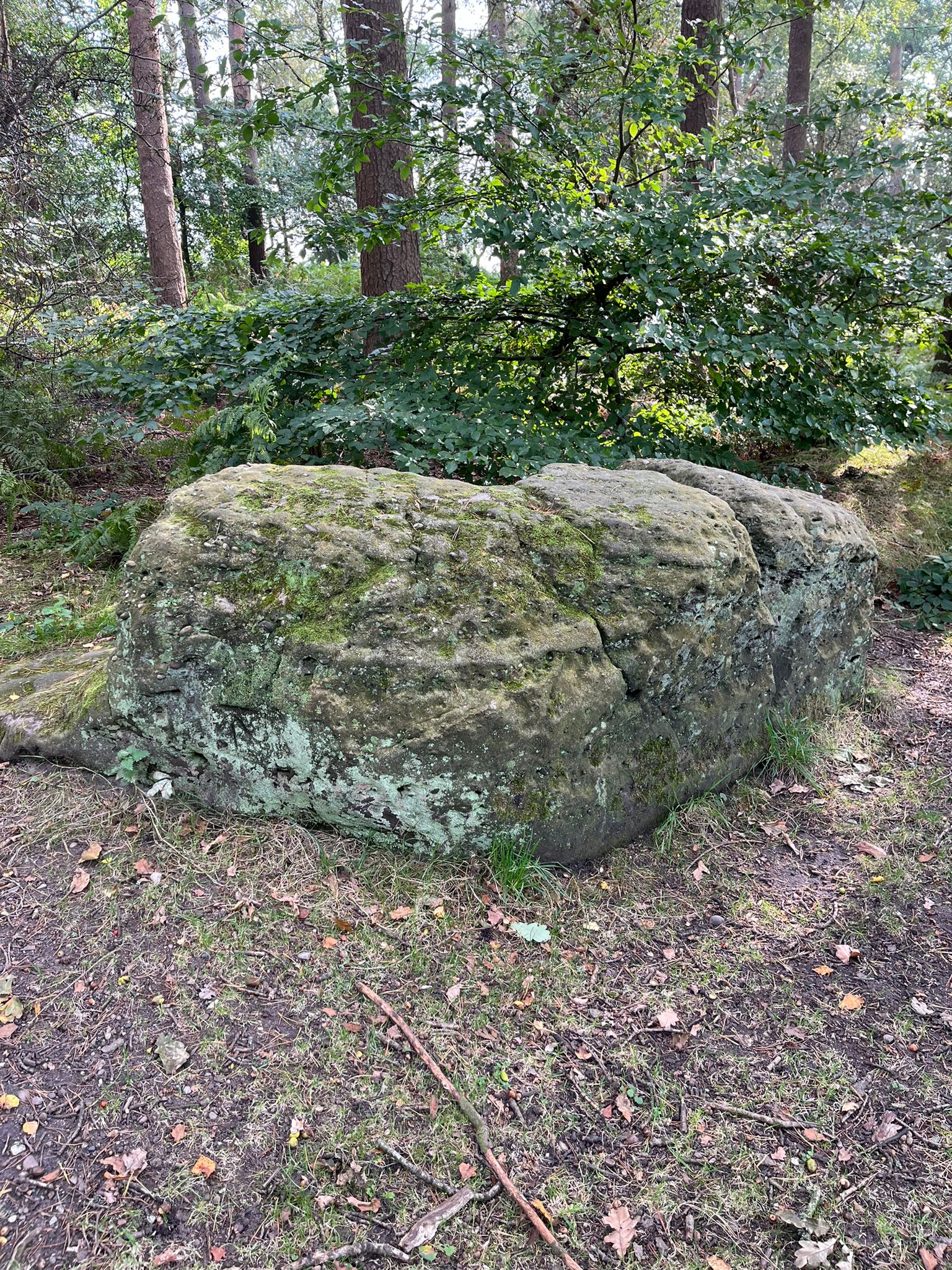
The Goldenstone is a possibly ancient boundary stone on the boundary of Nether Alderley.
There is an Ordnance Survey benchmark on the Goldenstone.
Created: 26 October 2024 Edited: 26 October 2024
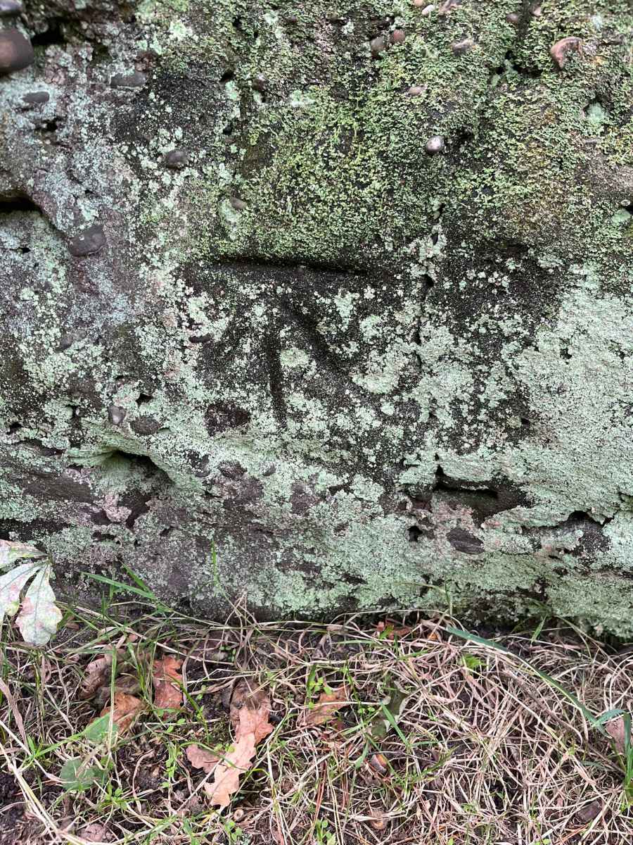
Goldenstone OS Benchmark
Goldenstone
Goldenstone LiDAR Map

Contains public sector information licensed under the Open Government Licence v3.0
Local History around Goldenstone
There are some historic monuments around including:
Earthwork remains of a medieval hall, chapel and settlement, 290m south east of Capesthorne HallBowl barrow 200m north-east of Capesthorne HallBowl barrow 230m west-south-west of Birtles HallThe Armada Beacon, Alderley EdgeStanding cross on Prestbury Road, 150m south east of Lane End crossroadsMedieval boundary marker at Saddlebole, 180m west of Findlow FarmFoxtwist moated site, two fishponds and connecting channelsThe Great Merestone medieval boundary marker on Finlow Hill, 245m east of Mottram HouseThe Golden Stone boundary marker, 250m north west of Edge House FarmChorley Old Hall moated site and four fishpondsWood Mine cobalt works and associated mines, 340m east of White Barn FarmChurchyard cross at St Mary's ChurchStanding cross base near the junction of Church Lane and Woodhouse Lane, 600m NNW of New Hall FarmBowl barrow 450m south-east of Capesthorne HallCross at Nether Alderley on the crossroads of Welsh Row and Congleton RoadBowl barrow 60m north of junction of London Road and Bonis Hall LaneBowl barrow 370m east-south-east of Bearhurst FarmEngine Vein opencast copper mine, 150m north of Warden's CottageCross shaft in the churchyard of St Peter's Church.


